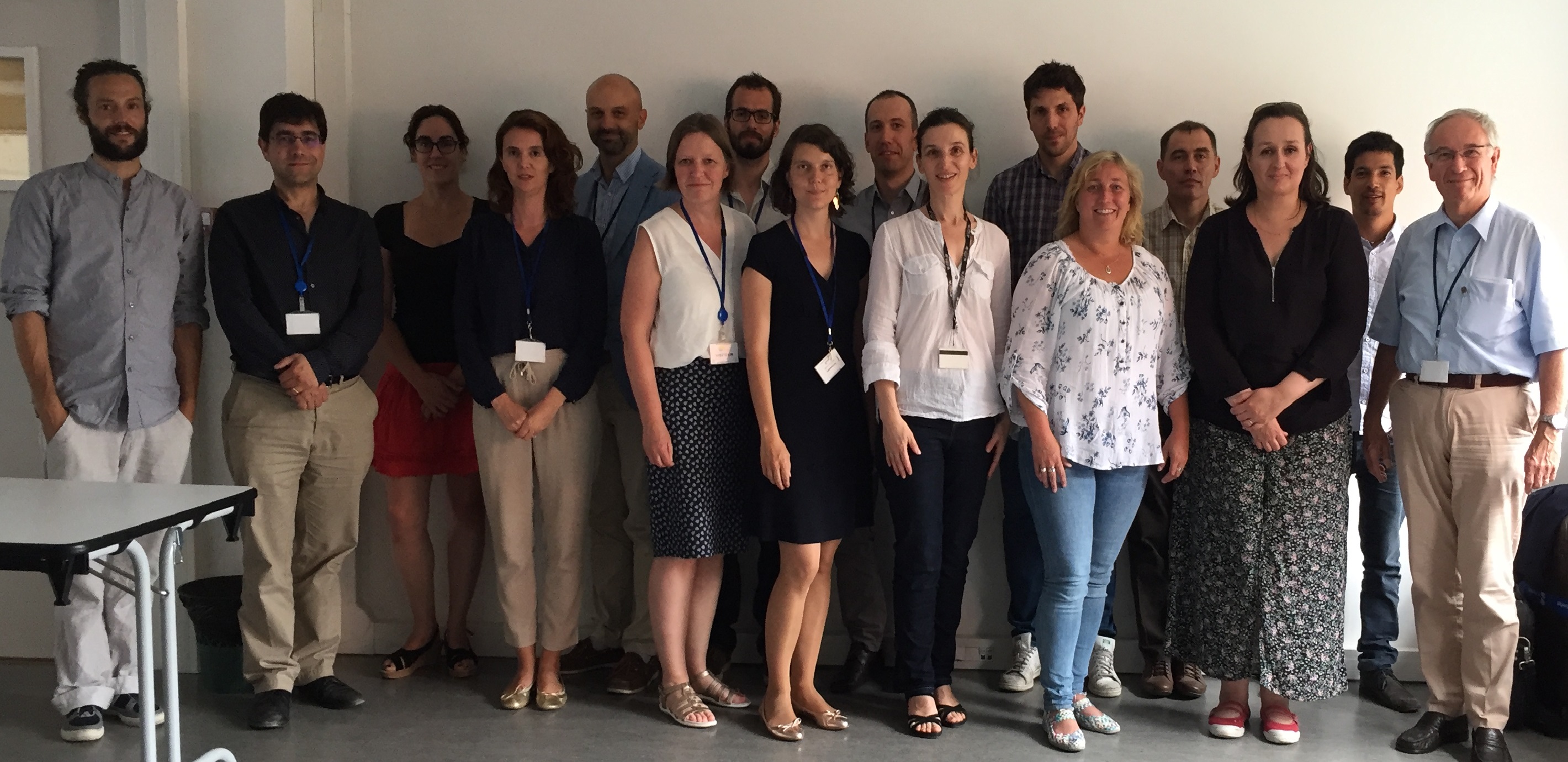
Seminar Graphical Interfaces for Historical data
In the domain of geographical information, recurrent stakes are to access more efficiently to digitized archives or to obsolete data. This seminar aimed at presenting latest research and developments about graphical interfaces to interact with geographical historical data, at getting more insight on user communities requirements and fostering collaborations between national mapping agencies, academics and the industry in this domain.
Targeted audience was organizations who manages such archives and are facing new needs or proposing new solutions, engineers who develop innovative solutions, scientists who study or use such interfaces.
The seminar was organized in two parts:
- Presentations: a specific care is expected about describing expected collaborations and reusable items or experience.
- A wrap up session to identify possible ways to mutualize efforts and collaborate.
The workshop report is available here.
Practical details
Date: Monday June 26th 2017, 9h30 - 16h30
Venue: IGN, 73 Avenue de Paris, 94 160 Saint Mande, France (20 minutes from Paris center by public transport)
Contact: Bénédicte Bucher, IGN, France (benedicte.bucher@ign.fr) and François Golay, EPFL, Switzerland (francois.golay@epfl.ch)
Registration is open by contacting the organisers.
Important dates:
- May 15th: deadline for proposing a presentation
- May 30th: final program
- June 26th: seminar
Program:
9.00 a.m. | Welcome coffee |
9.30 a.m. | '‘Use of Norwegian Mapping Authoritys online Historical Maps” - Sidsel Kvarteig, Karteverkert, Norway |
10.00 a.m. | "Online display of IGN-F digitized archives: achievements and challenges" - Eric Breton, IGN-F, France |
10.30 a.m. | "A journey through time" - Helen Gollin, SwissTopo, Switzerland |
11.00 a.m. | "Navigating by content in multidate image collections” - Valérie Gouet Brunet, LaSTIG-MATIS, IGN-F, France |
11.30 a.m. | “Time Machine FET Flagship" - Frédéric Kaplan, Isabella di Len
ardo, DHLab, EPFL, Switzerland |
12.00 - 1.30 p.m. | Lunch |
1.30 p.m. | “Smapshot: Crowdsourced geolocalisation and visualisation of historical images in a virtual globe” - Timothée Produit, Jens Ingensand, HEIG-V, Switzerland |
2.00 p.m. | "Geovisualization designs for historical visual analytics" - Sidonie Christophe, LaSTIG-COGIT, IGN-F, France |
2.30 p.m. | "GeoHistoricalData" - Julien Perret, LaSTIG-COGIT, IGN-F, France |
3.00 p.m. | “A Survey to understand what new usages are being developed other image archives” - Sébastien Giordano, LaSTIG-MATIS, IGN-F, France |
3.30 p.m. | Wrap up and Future actions |
4.30 p.m. | Departure |